The more than 100 year old June race over this route has planted elegant stone markers along the way.
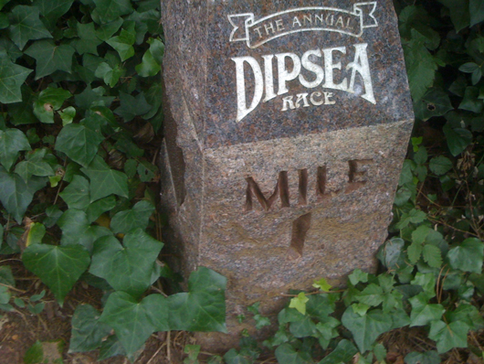
In reality, there is no fixed course; in the race, runners choose whatever short cuts get them over the hills most rapidly, at some risk to life and limb. I stick to the most conventional version of the trail. This marker is near the parking lot at Muir Woods National Monument.
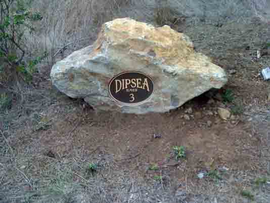
Mile 3 is about half way up the long rise that's known as Cardiac Hill.
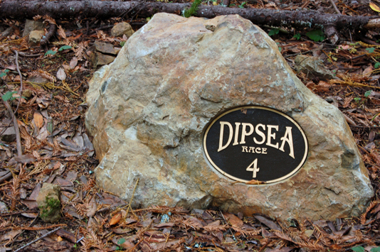
And Mile 4 is just about at the top.
One website describing the trail warns:
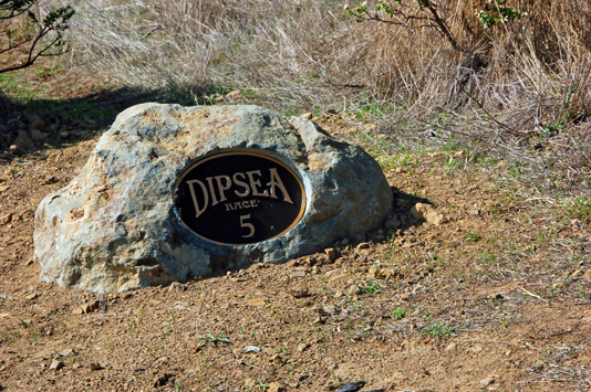
I agree, but getting lost in the section around Mile 5 is not likely to be a problem, unless perhaps there's a thick ocean fog coming in.Before you attempt this course for the first time, on your own, know this: Most people who are familiar with the Dipsea Trail would advise that you do it with someone else who knows the trail. There are many opportunities to get lost ...
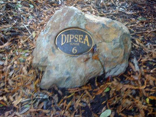
On the way to Mile 6, you come down what I find the trail's most difficult section, the slippery wooden steps on the way to the Steep Ravine (that's actually the name of the other trail that goes up along a creek from where the Dipsea crosses a bridge.)
At Mile 7 you are home-free, just outside the town of Stinson Beach -- except there's no way back to your car in Mill Valley except to run up all those hills you just came down ...

No comments:
Post a Comment